
Water Sustainability
Water Sustainability
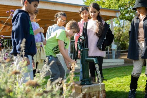
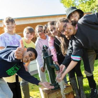
How much water do you use every day? Students will learn about water consumption through a variety of games and activities, understanding that water is a finite resource that must be conserved. They will explore how we use water and find ways to reduce consumption, helping reduce stress on water resources. Students will also investigate how land use affects water infiltration and link this to their locality.
Students will have the opportunity to demonstrate their understanding of climate action and water usage through an achievable personal behaviour change.
Learning objectives
- To understand where water comes from using the water cycle.
- To understand that water is a finite resource.
- To understand how water is used and how much water it takes to do basic tasks (e.g. taking a shower).
- To explore how to reduce water consumption by changing the way we use water.
- To understand how climate change is impacting water scarcity and water abundance in different areas around the globe.
- To connect issues of water to their locality.
- To demonstrate their understanding of climate action and water usage through an achievable personal behaviour change.
National science curriculum links
Y4
Working scientifically
- Setting up simple practical enquiries, comparative, and fair tests.
- Making systematic and careful observations.
- Recording findings using simple scientific language.
Living things and their habitats
- recognise that environments can change and that this can sometimes pose dangers to living things
States of Matter
- Identify the part played by evaporation and condensation in the water cycle.
National geography curriculum links
KS2
Human and physical geography
- Describe and understand key aspects of: the water cycle, types of settlement and land use, and the distribution of natural resources including energy, food, minerals and water
Geography skills and fieldwork
- Use fieldwork to observe, measure, record and present the human and physical features in the local area using a range of methods, including sketch maps, plans and graphs, and digital technologies.


